Hallstatt: salt history between the lake and Dachstein
Hallstatt lies on a narrow strip of shore on Lake Hallstatt under steep slopes. Houses, churches, salt mines and traffic routes are closely linked to the topography. The place is part of the UNESCO cultural landscape of Hallstatt-Dachstein/Salzkammergut.
History and Identity
The salt deposit has been used since prehistoric times. Finds from the burial ground gave the Hallstatt period its name. Mining and transport shaped the place for centuries; However, the archaeological terms refer to a broad culture and not just today's village.
Sights
Market square, Protestant church and Catholic parish church are on different levels. The ossuary documents local burial practices. The museum and salt mine convey archeology and work; The mountain railway and pit have their own operating times.
Understanding the place
Hallstatt is small and heavily visited. Train travelers usually travel by ship, and street parking is limited. Rockfall, weather or maintenance can close paths and cable cars. Residential buildings, cemeteries and riverside access must be treated with respect.
Plan your visit
Opening times, access conditions and transport offers may change. Before traveling, check the official pages linked from the source, protect historical buildings and keep house entrances clear. Source in the local language.
 Hallstatt beyond the postcard: lakeside walk, salt mine and Skywalk
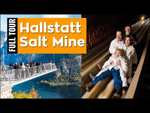 Inside the Hallstatt salt mine
BigBoyTravel follows the mine visit and its mountain setting. This longer film gives practical context to the salt heritage behind the lakeside village.
Inside the Hallstatt salt mine
BigBoyTravel follows the mine visit and its mountain setting. This longer film gives practical context to the salt heritage behind the lakeside village.
 A view from the Hallstatt Skywalk
Hallstatt's short Skywalk video raises the camera above the roofs. Compare this panorama with the more intimate walking footage below.
A view from the Hallstatt Skywalk
Hallstatt's short Skywalk video raises the camera above the roofs. Compare this panorama with the more intimate walking footage below.